This is part 2 in the series of posts showing a total of 50 photos from our August 2017 trip to and along the China side of the silk road. ย To continue to part 3, click here.
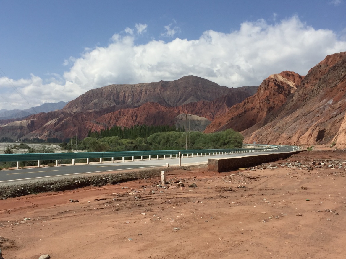
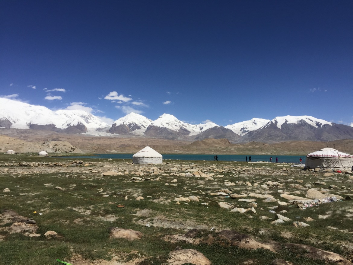
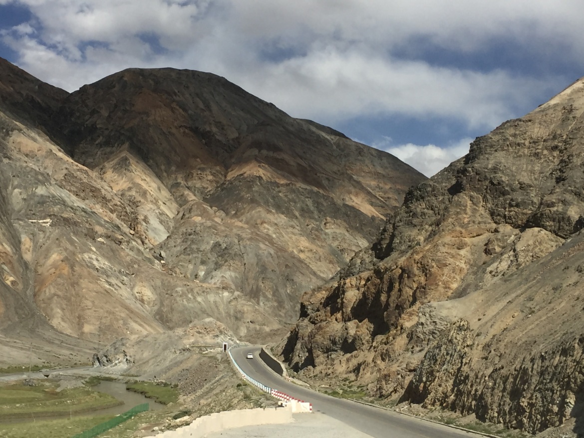
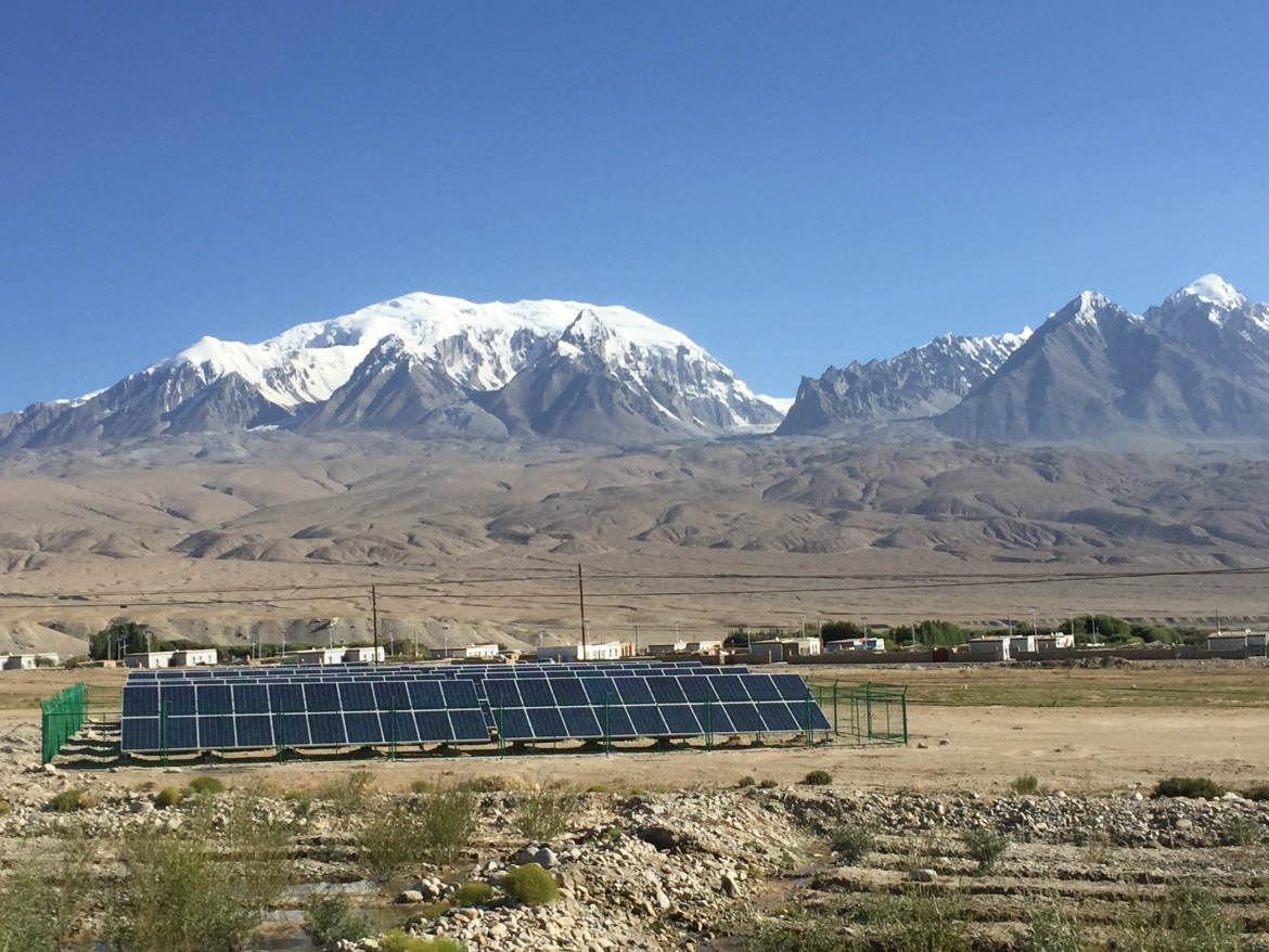
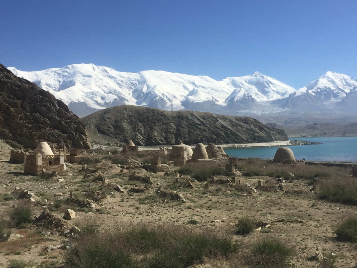
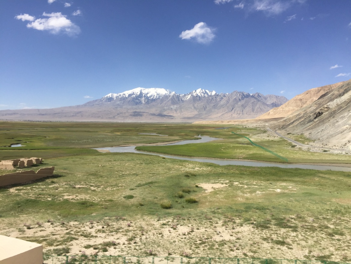
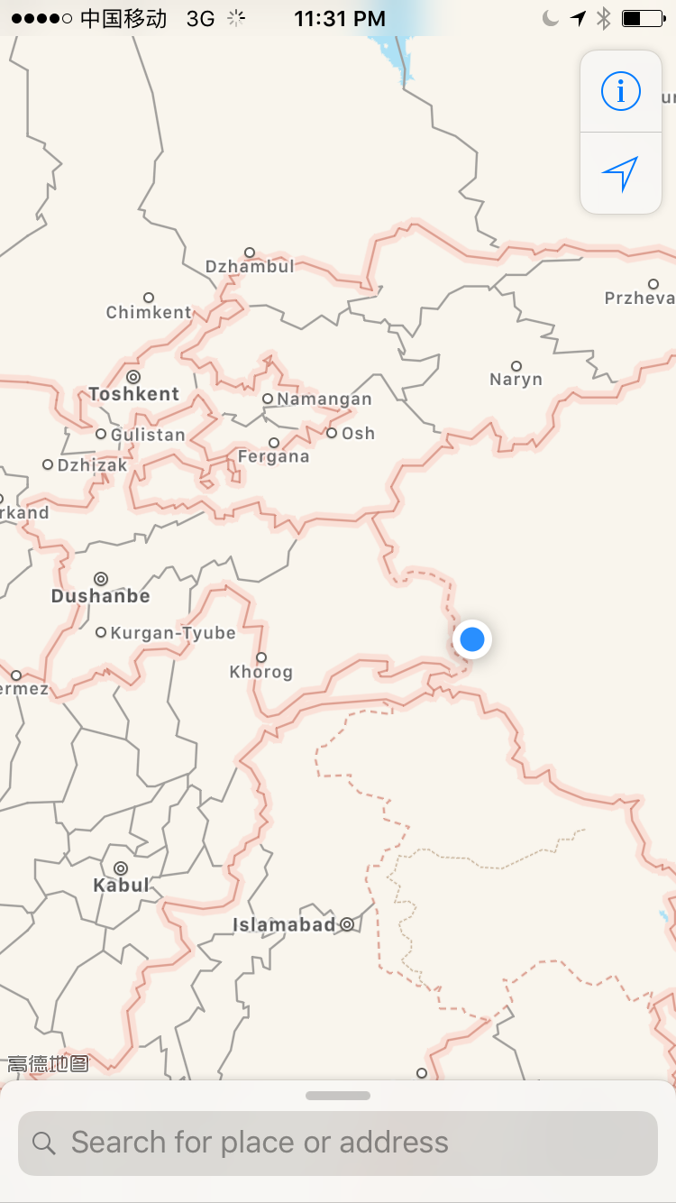
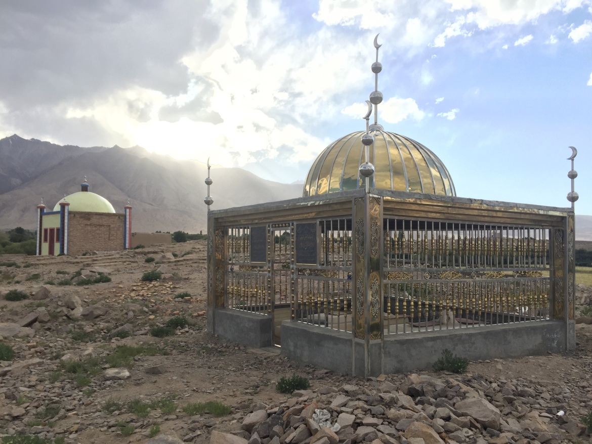
The Karakorum Highway was the highlight of our August 2017 Silk Road trip, and if we had more time, we wish we could have continued on through Tajikistan (border limited to commercial crossings for now), Afghanistan (border currently closed), or Pakistan (still a popular route for both tourists and traders crossing the Khunjerab pass to Gilgit and Islamabad), but even the 300km drive from Kashgar to Tashgurkan and back surpassed even my expectations for beautiful scenery and cultural diversity. ย This was one of the rare times in China I had to hire a guide, since very few people there spoke Mandarin (and of course no English).
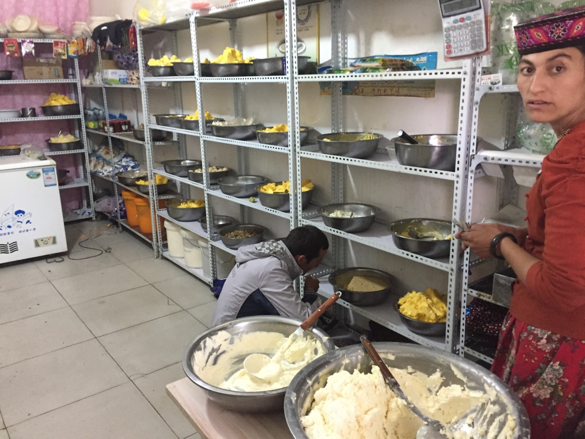
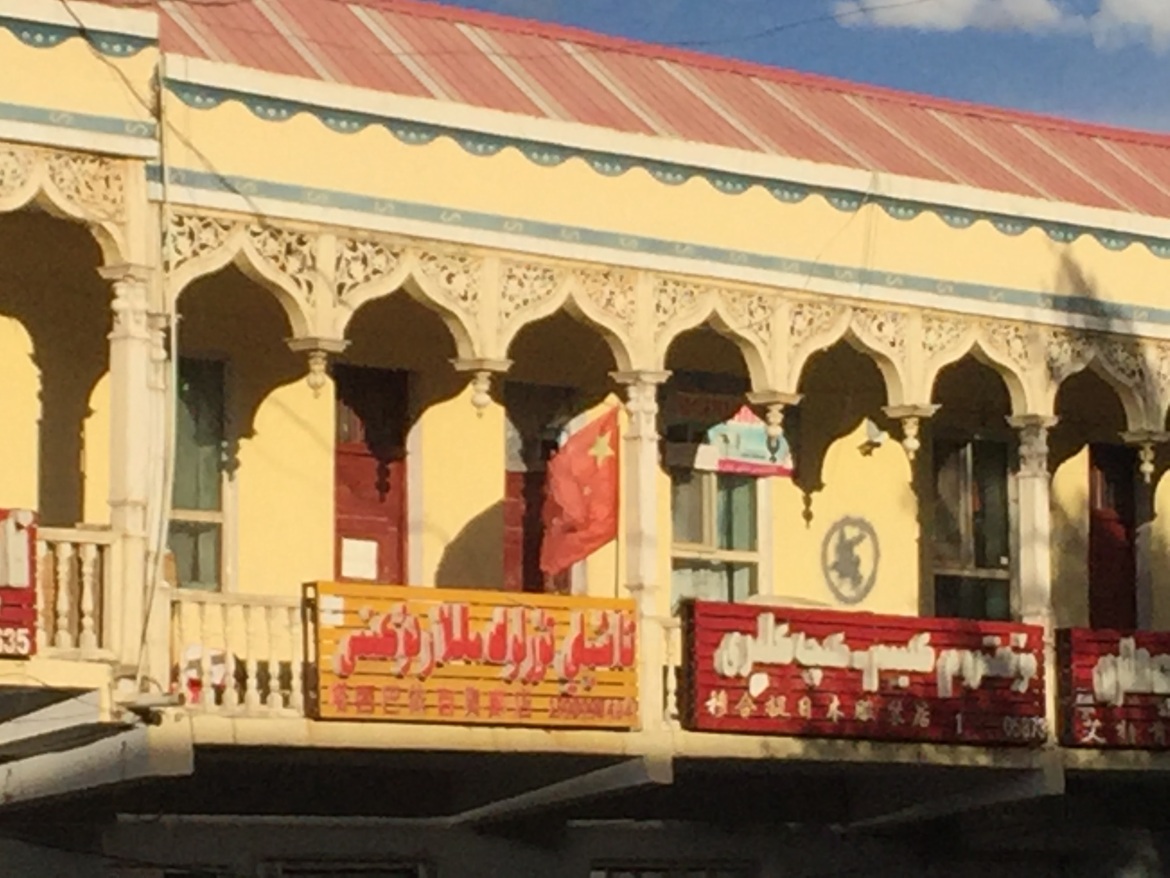
Here are the photos from the Karakorum Highway and Tashgurkan:
The KKH scenery seems to change every 20-50km, starting with these beautiful colored mountains long before reaching the snow-capped ones.Yurt / Ger tents are plentiful along the KKH. We probably noticed the most in the Kyrgyz county.This was one of the last scenic stops on the road before reaching Tashgurkan.Not far outside Tashgurkan, we noticed this solar farm. It makes perfect sense to invest in powering the silk road mostly by solar energy given the elevation, dry climate, plentiful land, and cheap panels.Kyrgyz muslim cemetaries in one of many “I can’t believe this is still China” photos.Kashgar-Tashgurkan are roughly kms 1450-1750 on China Highway 314.These white sand dunes were blown by wind, and my photos don’t do them justice. It fortunately wasn’t as painfully windy on the way back.Wool drying in the sun on a mountain rock.A silk road caravan “motel”, where camel train crews would take shelter along the stream before the Karakorum highway was built.Even the selfie takers at Karakul lake were worth photographing…… but of course that attracted the attention of one of the few Mandarin-speaking tourists nearby, who then wanted to take a selfie with me.This lower road was supposedly built in 2004, and has already been overbuilt by the higher road built in 2014-2016. Unfortunately I missed getting one of the many cargo trucks traversing that upper road, but it is clear how much China is investing in keeping the Karakorum highway in top shape for cargo.In the distance, you can see bridges keeping the highway level through this beautiful valley.Another shot of the “old” 2004 road (left), now replaced by the new 2014-2016 road we drove on (right).The landscapes around Tashgurkan seem like a pasture from a fantasy movie, complete with waterwheels and grazing sheep. On the other side of those mountains are the borders of Tajikistan, Afghanistan, and Pakistan.Apple maps couldn’t show any cities on the China side, but this shows how close we got to Tashkent, Dushanbe, Kabul, and Islamabad at China’s far west extreme.Muslim family cemetaries outside Tashgurkan.This Tajik lady was selling yak butter and other yak and cow dairy products – my favorite was the “hard yoghurt” snacks, where yak or cow yoghurt is salted and hardened into something like a sour energy bar.On a main pedestrian street in Tashgurkan, only this flag and the acceptance of RMB could remind you you’re still in China.We met with this traffic jam on our way back. It was quite encouraging to see so many two-humped camels (aka Bactrian camels) running around this part of China.
One thought on “Silk Road Trip 2017 Photo Set 2 of 3: The Karakorum Highway and Tashgurkan”